Who we work with
We build documentation for professional operators, not recreational pilots. These are the segments we work with most often.
Surveying, cadastre and photogrammetry
If you fly for mapping, cadastre, 3D modelling or photogrammetry, we help you prepare documentation for operations that exceed the limits of the Open category.
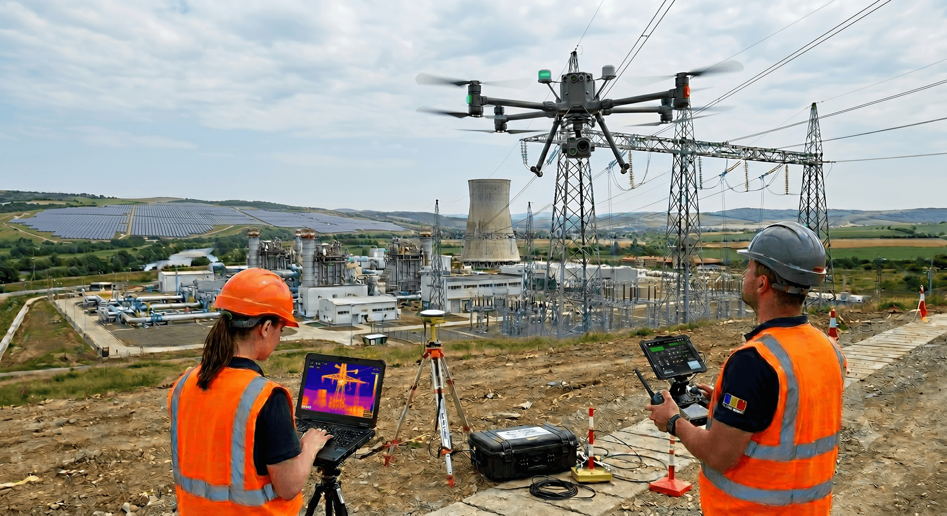
Energy and utilities
We support companies using drones for power-line inspections, solar farms, pipelines or critical infrastructure — often with BVLOS and SORA requirements.

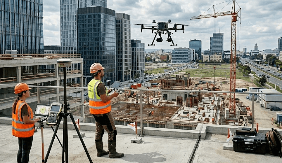
Construction and infrastructure
We help companies using drones for site monitoring, bridge and road inspections, or documenting progress across large works.
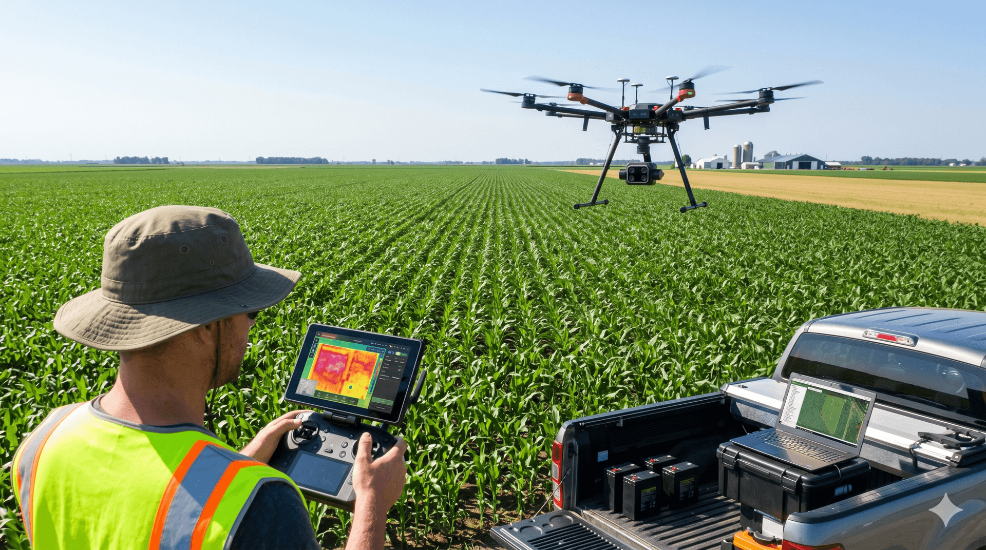
Agriculture
We support operators using agricultural drones for repeated operations, over large areas or with special operational requirements.
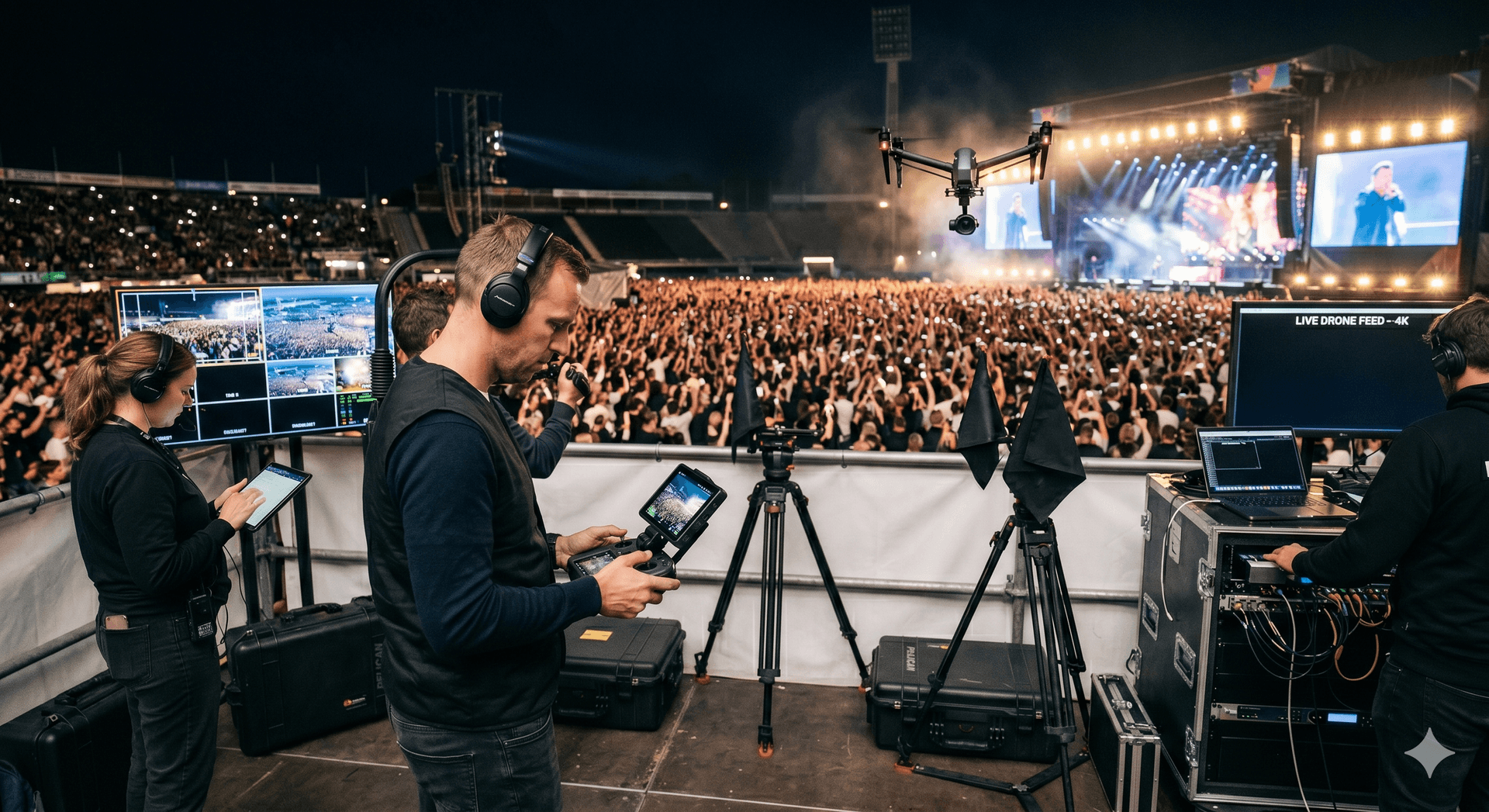
Media and video production
We support film crews who need approvals to fly in controlled, urban or restricted areas.
Companies with their own drones
Industrial companies, security firms, maintenance providers or public bodies that want to build a compliant, safe in-house UAS capability.